The NSCC campus in Middleton is the home of both the Applied Geomatics Research Group (AGRG) and the Centre of Rural Aging and Health (CORAH).
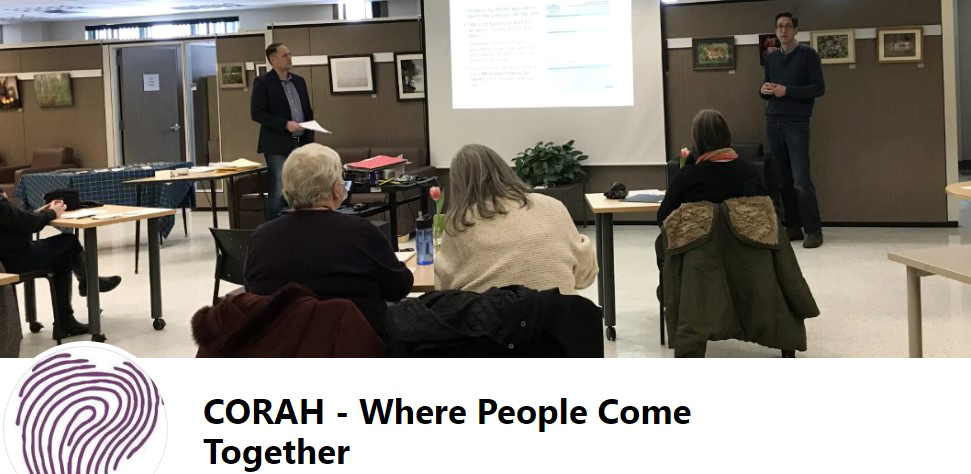
Consequently, it made sense for Dr. Tim Webster, Research Scientist at AGRG to give a presentation on ’The role of Geomatics in Managing our Coastal Zone’. The audience included, but was not limited to, retired faculty and other researchers who live in the region. Under CORAH, the presentation was also available at satellite sites in Canning and Cornwallis Park. Given my intimate knowledge of the AGRG story, I wanted to hear first hand the type of research currently being undertaken by AGRG.
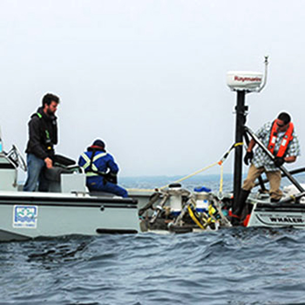
Despite COVID, Tim and his group of associates (about a dozen) continue to be competitive in the application of different Geomatics technologies, especially in the coastal zone. As a coastal province, it is important that we access and manage high quality information. (Image Source)
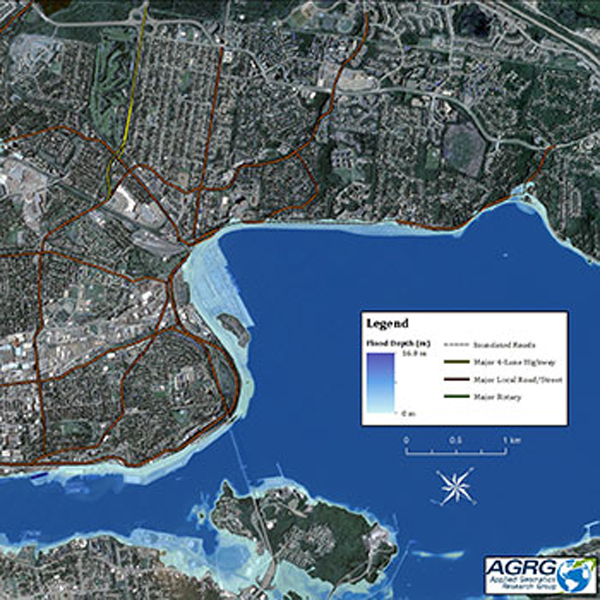
Tim provided an excellent overview of the technologies, the increased resolution of LiDAR, both terrestrial and topo-bathymetric. Climate change and sea level rise impacts flooding, erosion, ice jams, storm surges and salt water intrusions. (Image Source)
Specific projects by the group include flood risk mapping e.g. Annapolis Royal, Chignecto Isthmus. With topo-bathymetric LiDAR, it included mapping of eel grass beds in Little Harbour, contaminant monitoring in Boat Harbour. In Southwest Nova, in collaboration with Acadian Seaplants, mapping rock weed biomass. (Image Source)
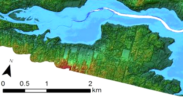
In the twenty two years, since the formation of AGRG, we see that the resolution has improved significantly and it is possible to build seamless land/sea models. If we are talking in terms of ’marine spatial planning’ then access to Geomatics technologies are critical to municipalities, the federal and provincial government, marine industries, Nova Scotia Power, Halifax Water etc.
Tim also provided insight into the application of the same technologies for his Ph.D research on the geology of North Mountain. He referenced the ability to separate tree cover from the ground surface. In rural Nova Scotia, with all the power outages, it would be a tremendous boon, if we could separate out the above ground power lines from the surrounding tree growth. Perhaps that is a ’fantasy’.
It is encouraging to see CORAH sponsoring Tim’s presentation. In the rural communities of the Annapolis Valley, there are a significant number of ’retired’ scientists and teachers who appreciate the application of Geomatics in managing our ecosystems, whether terrestrial, marine or in-between. This community-based learning model should be entertained elsewhere, where technology and technical institutions co-habitat the same landscape / the same geography.
Acknowledgements
Heather McCormick manages CORAH. It offers Health related courses and seminars in Middleton and at five satellite sites. Examples are Tai Chi, Computer Skills and guest seminars. Tim Webster delivered the seminar on Applied Geomatics research. Edward added the graphics and links. Heather attends Tai Chi.
