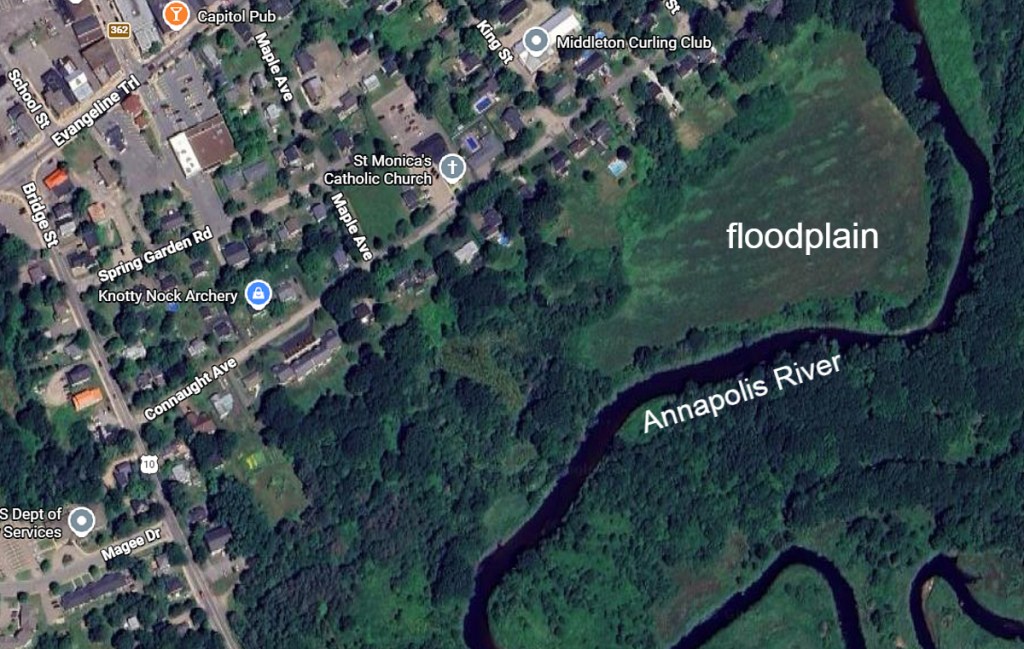
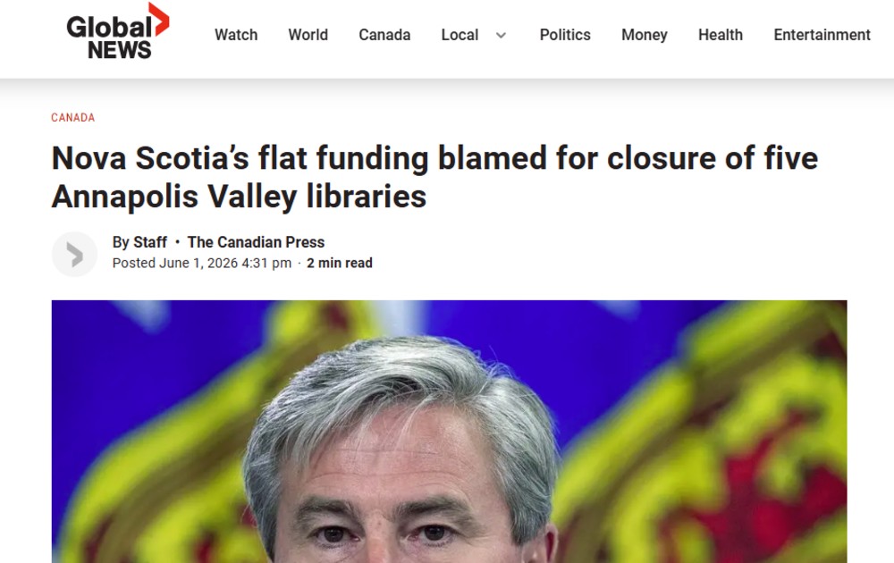
Last Monday, the Village of Lawrencetown Commission hosted a community meeting at the Fire Hall, given the notice of Library closure.
The meeting was well attended, hosted by the Village Commission, including Brian Reid and Jane Baskwill. They presented the concept of a community resource. They indicated that Lawrencetown was looking at the Canning model.
Next Monday (January 27) there is a town hall meeting at the MacDonald museum, to be hosted by Claudia Chender on ‘Action for Libraries’. This will include the strategy for the Middleton library. Heather and I plan to attend.
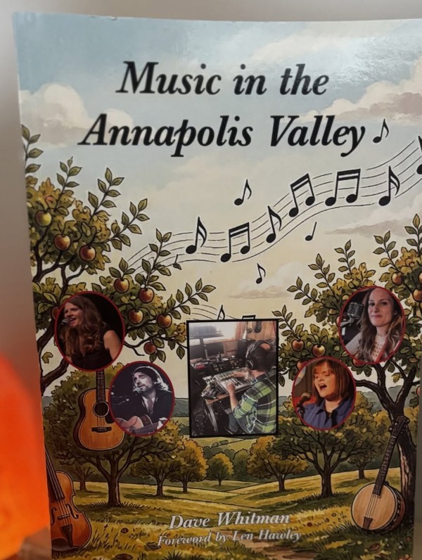
In my mind, it is remarkable that we live in a geography that has sustained writers, going back to Ernest Buckler (see Mountain and the Valley). This richness in our literature continues today.
To support the Lawrencetown Library, there remains a strong literary culture plus an appreciation of landscape through the resources at the Centre of Geographic Sciences. Let’s take the opportunity to work together for the common good of the next generation.
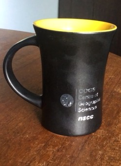
Otherwise, I feel that the shine has gone off the COGS NSCC mug.
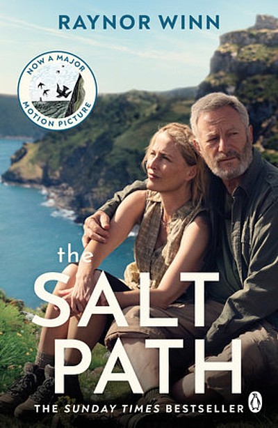
This week’s reading included Raynor Winn ‘The Salt Path’ available through inter-library loan (see post A Royal Visit: books and flowers) …
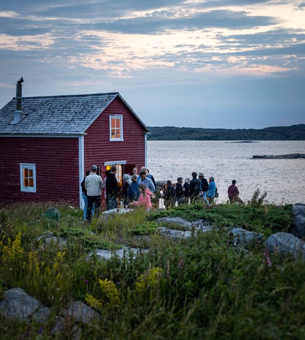
… and the Shorefast report by Zita Cobb (available online).
References
Raynor Winn, 2018, The Salt Path, Penguin Random House UK.
Zita Cobb, 2026, Shorefast 2025 Impact Report, (Online)