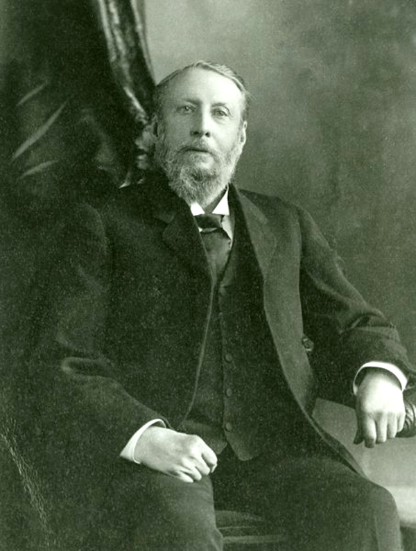
On Saturday afternoon, I attended the AF Church Historical Maps workshop at the Rath Eastlink Community Centre in Truro. Through David Raymond, I was invited to present the keynote address on Historical GIS in Canada.
(Image of AF Church)
In practice, I was able to provide some background on the history of GIS in Canada and some of the personalities. In reality, I was there to learn about the progress to date on the steps in the transformation of the large format late nineteenth century county maps into a digital database to support genealogical research.
The presentations explained four steps in the process.
- Julia Landry described the conservation of these county maps. It included the cleaning and repair.
- Christian Laforce presented the challenges in the compilation of high level digitization using overhead photography.
- The third step was described by David Raymond who used GIS software to geo-reference the images delivered by Christian.
- The last presentation on open source programming was scheduled for Shaun Johansen but had to be presented by Paul Armstrong. It described software that would allow the genealogist to link digital data derived from the AF Church maps to the 1881 census.
In the Chronicle Herald (August ,14) there was a half page on E3 ‘Help Us Map Your People’ placed by the Kith Observatory Inc. It confirmed that they have conserved and digitized maps for Antigonish, Hants and Halifax counties. They are seeking help in matching the names and locations on these maps with the 1881 census. They are seeking ‘doers’, ‘knowers’ and ‘benefactors’.
Prior to attending the workshop, I had a very fuzzy notion of Historical GIS. After the workshop, I had a much better appreciation of the practical challenges faced by the Genealogy community in working with the large format AF Church maps, using current technology.
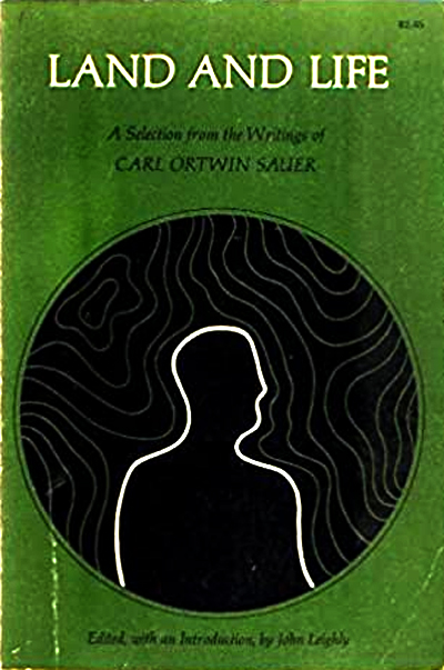
I concluded my keynote, citing the writings of Carl Sauer ‘Land and Life’. By understanding the lives of rural Nova Scotians in the late nineteenth century, we also develop an appreciation of land management in that time frame. That may serve us well, as we move forward.
Acknowledgements
David Raymond for suggesting my participation in the specialist workshop. Paul Armstrong for his work at the Kith Observatory Inc. Edward added the graphics and links.
References
Kith Observatory Inc. kithobservatory.ca
Carl Sauer, 1967, Land and Life, University of California Press, Berkeley.
Postscript
It is interesting that the acronym GANS stands for both the Genealogical Association of Nova Scotia as well as the Geomatics Association of Nova Scotia. Hope this does not lead to any confusion.
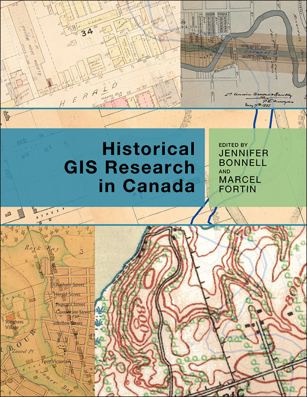
You may be interested in “Historical GIS Research in Canada“, Jennifer Bonnell and Marcel Fortin (eds), University of Calgary Press.

Bob
Sounds like a great event and I am very sorry I missed it but we are going flat out on the Royal Artillery Park Officers’ Mess that starts de-construction next week — we are having to do in two months what would normally take six.
Don’t forget to vote if you have not already done so.
Brian
Brian Arnott Principal Novita Interpares | Leaf + Branch
novitainterpares.ca >
LikeLike
Rachel Steenson, from ESRI Ireland, has comments on the History of GIS you might like to read …
https://www.bcs.org/articles-opinion-and-research/the-history-of-geographic-information-systems-gis/
LikeLike
Thanks, Edward.
We can benefit from a broader perspective.
Bob
LikeLike