In the Canadian Spatial Times (October 5,2021) there is notice for a Statistics Canada workshop on ’Measuring Access to Services: International and Canadian Experiences in Rural Analysis’ to be held on October 13th.

This reminded me that several years ago, there was a provincial agency called ’Community Counts’ which provided detailed access to census data.

In the same newsletter, GoGeomatics announced the return of the popular Geospatial Career seminar.
In these COVID times, there is a demand for educational institutions to offer a mix of online and in-person courses. This spurred me to ask the faculty at COGS how they have changed their curriculum to meet these new demands. Hopefully, in a few weeks, I will be able to report on the changes in curriculum and courses, as educational institutions address the changing demands. There would seem to be new opportunities for collaboration, and thus, to resurrect the role of ’community counts’ in the overall equation.
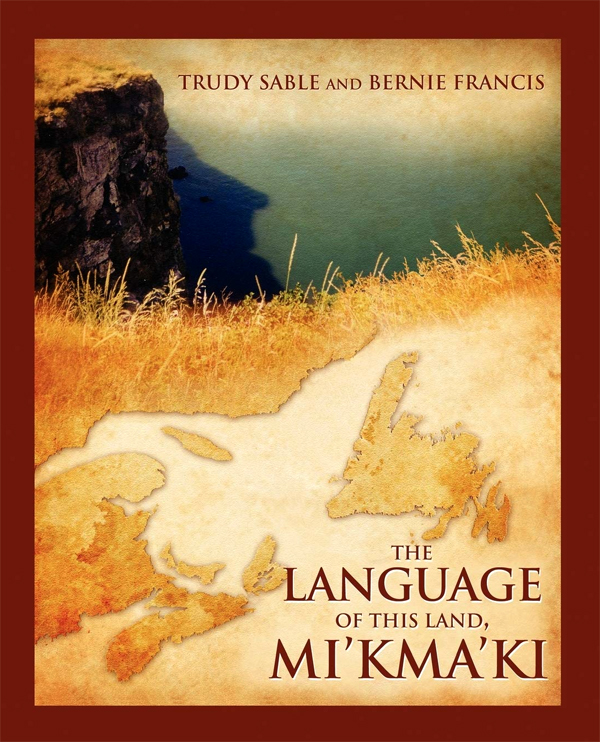
With regards, our collective understanding of landscape, I have rediscovered Trudy Sable and Bernie Francis, The Language of this Land, Mi’kma’ki.
From Chapter 1, Bernie Francis:
“Our language is verb oriented. We naturally see, and act, with the world differently than the speakers of English and French, both groups speaking language from the Indo-European stock.”
From Chapter 2, The Sentient Landscape and the Language of the Land:
”The Land is always stalking people. The land makes people live right.The land looks after us.The land looks after people.”
From a Cibecue Apache quote collected by Keith Basso.
This contrasts strongly with the Indo-European view of Herman Hesse in his ’Description of a landscape’ (see previous blog).
Acknowledgements
Jon Murphy for his good work at GoGeomatics. Dave MacLean at COGS for his encouragement. Edward Wedler supplied the graphics and links. Heather Stewart shares the journey.
References
Canadian Spatial Times. October5, 2021.
Trudy Sable and Bernie Francis, 2012, The Language of this Land, Mi’kma’ki, Cape Breton University Press, (Bill Jones contributed the maps of land use and occupancy).
