After attending the industry expo, I was moved to write the story of COGS (again).
I wanted to ensure that the current students are aware of the importance of ‘story telling’ and ‘a sense of place’.
This blog post is a short précis; top of mind.
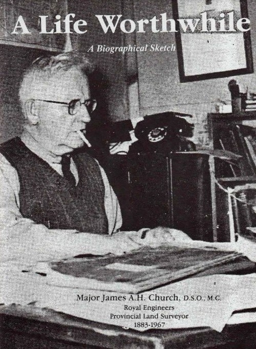
It starts with Major Church and his survey school in Lawrencetown, after the Second World War (see post Never Retire).
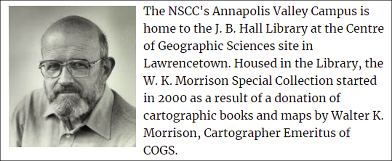
This led to the addition of Cartography, the hiring of Walter Morrison and John Wightman (pic shown).
At the industry expo, the librarian Andrew Hannam had prepared an excellent display in the Boardroom of Walter’s antique map collection (see post Map Stories).
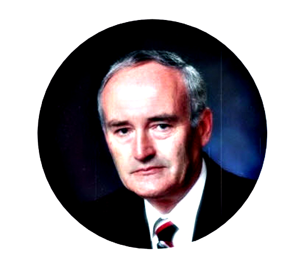
From John Wightman, we link to Roger Tomlinson who was teaching at Acadia University and is remembered as the ‘father of GIS’ (see post Journey Back in Time).
In the 1980’s it was recognized that there was a need for computer technology and GIS. This was when I stepped onto the stage. This step created a strong link between COGS and ESRI/ESRI Canada. The story has unfolded from there.
For today’s student. I would encourage them to understand this place and landscape. Read the local story tellers, especially David Manners, Ernest Buckler and, more recently, Bob Bent. Take the drive up the Morse Road from Bridgetown to West Dalhousie. Walk through Valley View Park, above Bridgetown, and head across North Mountain towards Middleton. Get on your bicycle, ride the Harvest Moon trail to Annapolis Royal. Stop at Grand Pre and admire the cartography of Marcel Morin. Take a drive to Port George on the Bay of Fundy.
Enjoy!
Postscript
This evening (Wednesday), Heather and I are joining Jeannie Barteaux to see the fantasy movie, The Boy and the Heron at the Kings Theatre, Annapolis Royal animated by Hayao Miyazaki. Thanks, Jeannie.
