Today (Monday) was the first day of the Industry Expo. This is normally a two day event. First day, includes presentations from industry employers, and Day 2 is for the industry representatives to interview current students.
It is an excellent opportunity to obtain an update on the Geomatics industry needs in the region, as well as to hear about changes in technology and teaching at COGS (see Industry Expo posts 2025, 2024).

Today, the weather intervened. Rather than presentations in the AV room, presentations were online, using the Microsoft Teams environment.
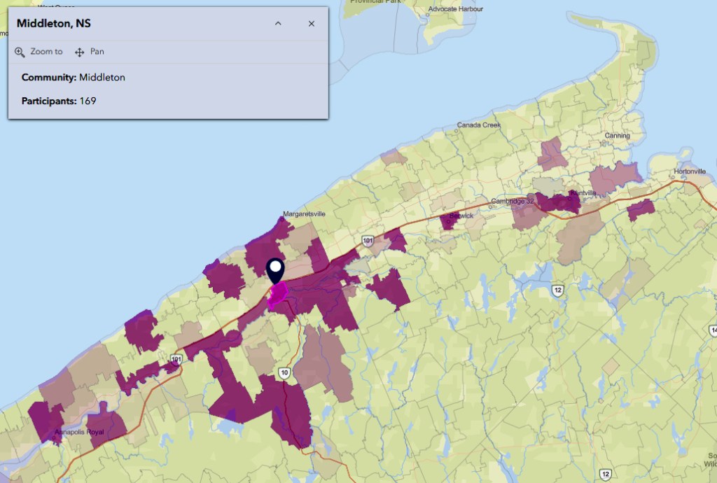
I was able to stay home in Middleton and hear the presentations from Caltech, UNB, Mitacs. In the afternoon, I enjoyed the keynote ‘Charting Career pathways in GeoSpatial Artificial Intelligence’ by Steven Edwards, COGS faculty, and two guests from Esri Canada.
The biggest challenge for me was my lack of familiarity with the Microsoft Teams software. This served to illustrate the changes in the learning environment. It also illustrated that keeping on top of new educational tools, on the fly, is not the best idea for a retired Geographer. Perhaps the presentations can be provided in a simpler, more accessible format, after the event.
Acknowledgements
Thanks to Monica Lloyd and David MacLean. Without their support, I would have felt quite lost on a Winter storm day. Good luck tomorrow to the current students in their interviews. Edward, thanks for the video link etc. It’s very powerful.
POSTSCRIPT
An introductory video on a career in Geospatial AI