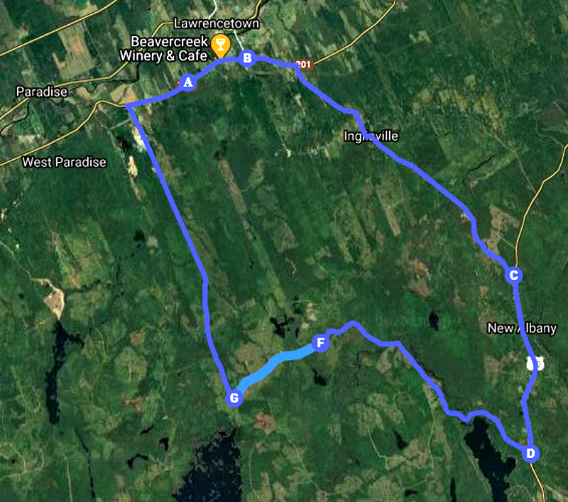
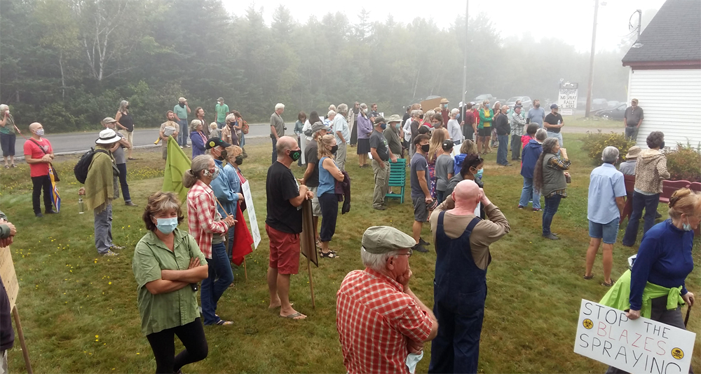
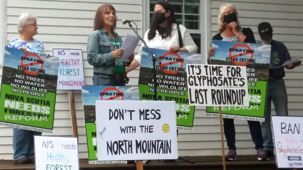
This week, Heather and I have been spending a fair amount of time at the Eel Weir Lake camp with the Extinction Rebellion, protesting the aerial spraying with Glyphosate over three parcels in Annapolis County : one at Eel Weir Lake and two at Paradise Lake.

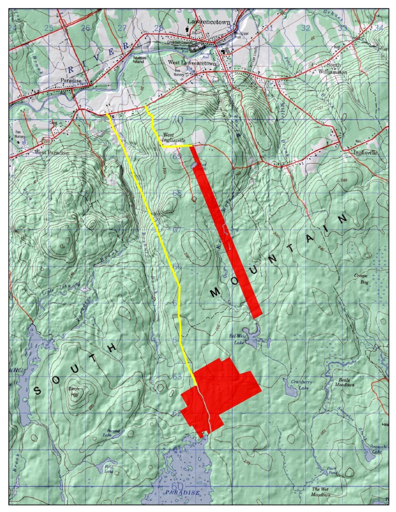
As we tried to help with directions to the site, Heather noticed a a difference between the fifth edition of The Nova Scotia Atlas (2001) and the seventh edition (2019).

Her sharp eye noted:
- The location of West Inglisville has moved from the turn in the road on the West Inglisville Road to the end of the Trout Lake Road (cartographic freedom)
- the road changed from Local Road (red) to Loose Surface(black)
- the areas designated as crown land (Green) were much more extensive in 2019 than 2001.
- You can still observe the Eel Weir Lake parcel however it is now surrounded by crown land, especially towards Paradise Lake.
The questions are:
Can the crown land now be clear-cut?
If so, by whom. Freeman Lumber?
After clear-cutting, will we see more aerial spraying?

I remember when I used to teach Geography at the university that Mark Monmonier wrote a wonderful book, How to Lie with Maps (1996).
In the case of the Nova Scotia Atlas, it seems that there have been political decisions to change the designation of crown land. This would then give the government the go ahead to contact the forestry sector for forest management. It could be clear-cutting, including spraying, or it could be ecological forestry. Either way, there should be a process where the citizens can see these maps. At the current rate, the whole province could be designated clear-cut and set to be sprayed. This is TOTALLY unacceptable.
What is the definition of ‘crown land’? Is it land for recreation and enjoyment by Nova Scotians? Or simply a land bank for the forestry industry?

Last night, I was talking to George Rizsanyi at the protest camp. We were talking about Labrador and Mina Hubbard. Here is the reference.
The woman who mapped Labrador: the life and expedition diary of Mina Hubbard.
George, enjoy.
Acknowledgements
Thanks to those individuals who joined us the camp: Steve, Rick, Carol, Kathy, Heather, Darlene, Debby, Nina, Peter, Neil, Justine, George. Visits from Larry Powell and Tim Habinski. Some dropped in, others stayed overnight. Special kudos to the Extinction Rebellion team. Heather for all her hard work and keen eye. Siqsiq for keeping the coyotes at bay. Edward and David for help with the graphics.
References
Mark Monmonier, 1996. How to lie with maps. University of Chicago Press
Mina Hubbard, May 2012. The woman who mapped Labrador: the life and expedition diary of Mina Hubbard. McGill University Press.




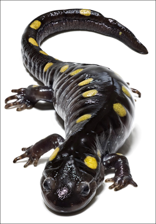

 In the podcast, he makes a couple of interesting points.
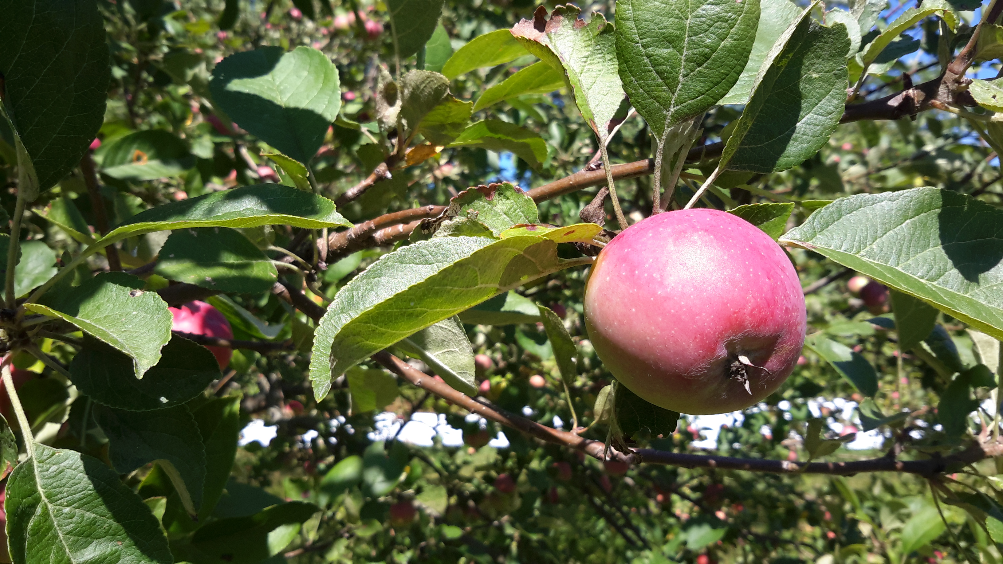 References
 Living in Annapolis County, one of the many pleasures is to be able to support local businesses. It is a joy to go to the
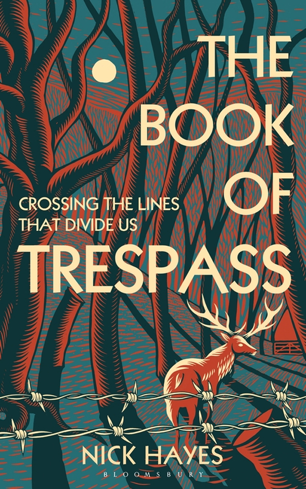
  The venue had a number of positives:

 Postscript
 Meanwhile, in Nova Scotia I read Larry Powell’s article on the
  While in Lunenburg to collect a few bottles of Hunter brandy at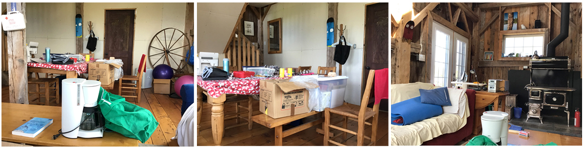
 Before leaving town to return home, we made a quick stop at Coles bookstore in the Highland Mall. I picked up another copy of Thoreau’s
 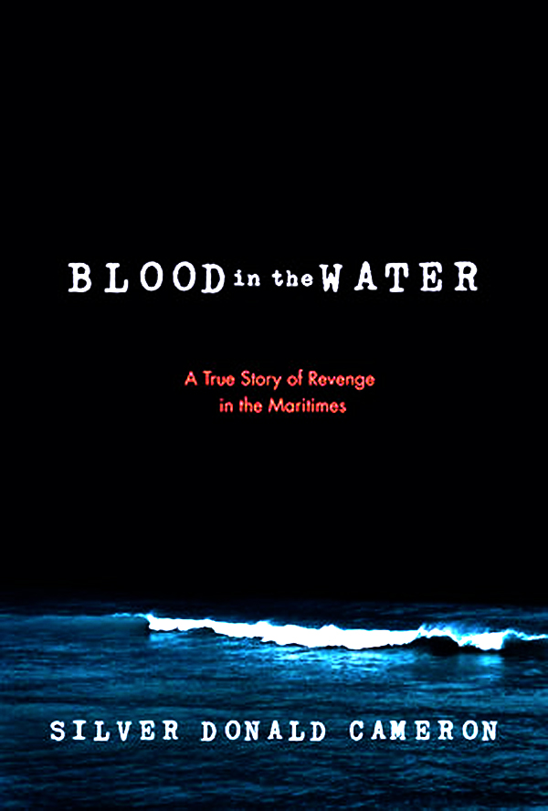 While on the road, I heard an interview about Silver Donald Cameron’s final book
