This weekend, I had the time to read carefully Gary Snyder’s essay, The Place, the Region and the Commons in The Practice of the Wild.

“David Foreman, founder of the Earth First ! Movement recently (1990) states his radical provenance. ‘It came from the Public Lands Conservation movement – the solid, stodgy movement that goes back to the thirties and before. Yet these land and wildlife issues were what politicized John Muir, John Wesley Powell and Aldo Leopold — the abuses of public land.” p.29.
“American Public lands are the twentieth-century incarnation of a much older institution known across Eurasia – in English, called the ‘commons’ – which was the ancient mode of both protecting and managing the wilds of the self-governing regions. It worked well enough until the age of market economics, colonization and imperialism.”:
“Because it is traditional and local, it is not identical with today’s ‘public domain’ which is land held and managed by a central government. Under a national state such management may be destructive or benign – but in no case is it locally managed. One of the ideas in the current debate on how to reform our public lands is that of returning them to regional control.”
“In the United States, an enormous area was de facto public domain and the Forest Service, the Park Service and the Bureau of Land Management were formed to manage it. (The same sorts of land in Canada and Australia are called ”Crown Lands”, a reflection of the history of English rulers trying to wrest the Commons from the people.”
“The commons is a curious and elegant social institution within which human beings once lived free political lives while weaving through natural systems. The commons is a level of organization of human society that includes the non-human. The level above the local commons is the Bio-region. Understanding the Commons and it’s role within the larger regional culture is one more step towards integrating ecology with economy.” p.37.
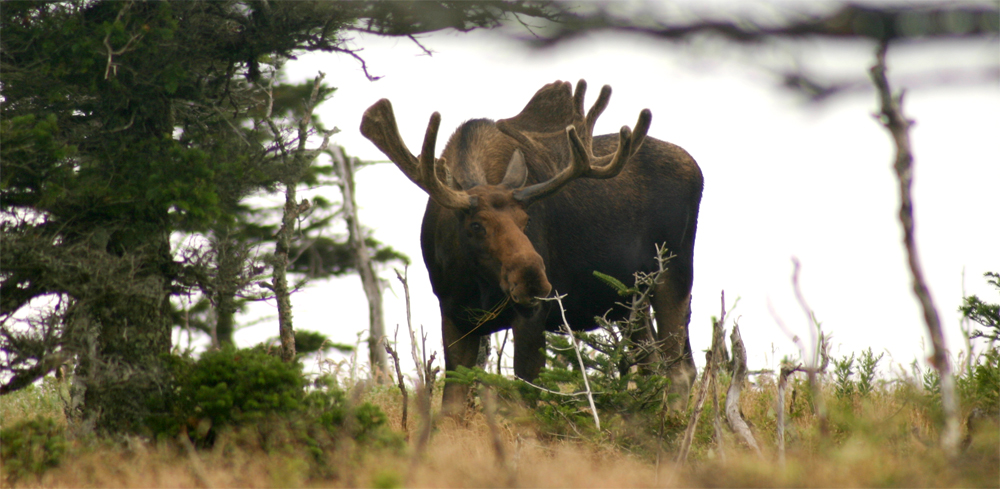
From my conversations with David Sollows and Cliff Drysdale (both with SNBRA) it appears that we need to have a similar discussion about Crown lands in Nova Scotia.
Perhaps a starting point would be for the key players: SNBRA, NS Department of Lands and Forestry, Municipal governments and WestFor to check out Gary Snyder’s essay: The Place, The Region and the Commons.
Acknowledgements
David Sollows and Cliff Drysdale for their interaction. Edward and Heather for their support.
Reference
Gary Snyder, 1990. The Practice of the Wild. North Point Press.
Postscript
Memories of Haida Gwaii