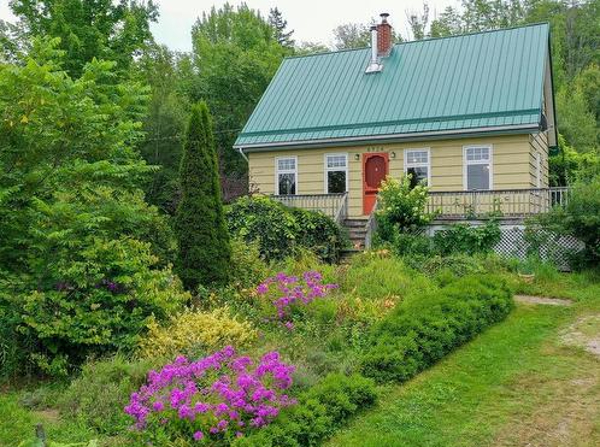
Edward responded to my earlier blog post (Passport Renewal). He recalled David Bowlby and Allison Maher (no relation) who owned Dempsey Corners farm.
Apparently, Allison was a supporter of the Ride the Lobster unicycle relay race event. Bowlby more recently worked at the Kentville Research station. Allison is a local author.
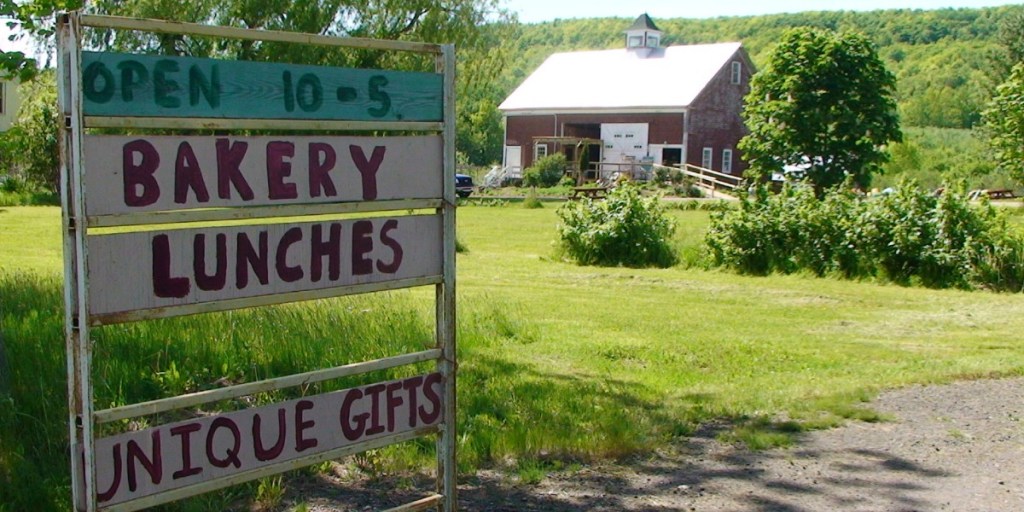
This week, I contacted Celes Davar. He has been instrumental in Experiential Tourism (see my post, Nisoge’katik), including Food-Art-Nature (FAN) in Kings County.
My interest was whether FAN fare extended into Annapolis County.
Today we planned to go to the Wolfville Farmers Market. We had forgotten that, at this time of year, Wolfville is hosting Christmas Craft Markets. So, quickly, we diverted to Canning to enjoy the ambience of the ArtCan Cafe.
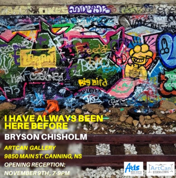
In particular, I enjoyed the exhibition by Bryson Chisholm, “I have always been here before”.
Afterwards, we took the back road to Berwick, then home to Middleton on Highway #1.
In contact with Dave MacLean at COGS, I learned that next week is Geography Awareness Week and Tuesday will be GIS Day.

From CORAH, I have learned that COGS will be hosting a used book sale at COGS. Perhaps, I can donate a couple of full boxes.
Finally on the theme of ‘joining the dots’ Edward queried OpenAI Chat GPT on a conference “Beyond the boundaries : Reimagining Nova Scotia” at COGS for 2025.
It came back with ten topics.
- Geography as a Tool for Health Equity
- Decolonizing Geography: indigenous knowledge and land stewardship
- Geospatial Technology and the Future of Smart Cities
- Climate change through a Geographical Lens
- Reclaiming Geography for Political Discourse
- The Geography of Education: mapping access, equity and opportunity
- Reimagining geographies of Work in a digital age
- Cultural Landscape: mapping arts, identity and place
- Geopolitics and the global supply change
- Spatialize Justice, rethinking equity in urban and rural contexts.
Acknowledgements
Edward for joining the dots. Dave for an update on COGS Geography Awareness Week. Heather for sharing lunch at the ArtCan Cafe. Celes for the link to the Food-Art-Nature newsletter.