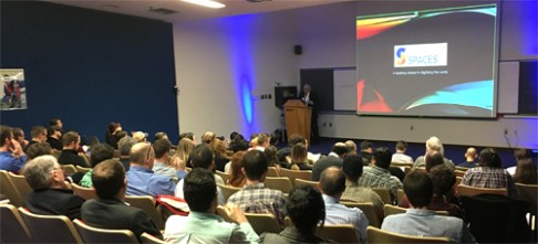
The 43rd Annual Canadian Cartographic Association (CCA) conference was held at the Centre of Geographic Sciences (COGS) in Lawrencetown, Nova Scotia from May 30-June 1st. The flow of the conference can be characterized by the three keynotes.
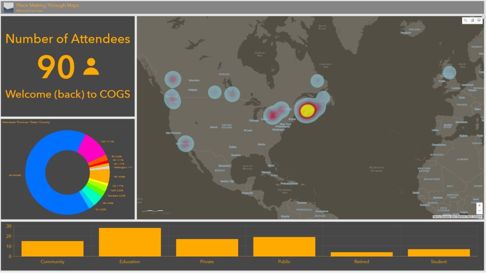
Day 1. Ken Field. Esri, Redlands, California. Fake maps ! The Cartography of Elections.
Day 2. Mike Goodchild. Seattle, Washington. Place, Maps, GIS.
Day 3. Marcel Morin, Grand-Pré, Nova Scotia. GIS, Adobe and Creative Cartographic Design.
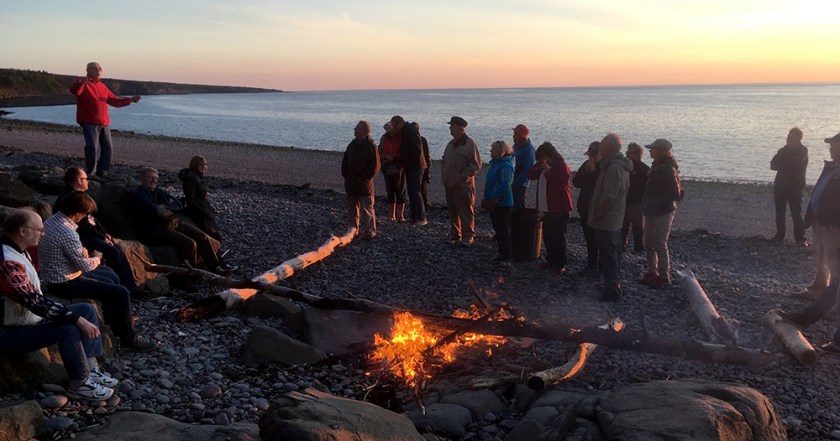
The first day included technical workshops by Esri on ArcGIS Pro/ArcGIS Maps for Adobe Creative Cloud. Before the breakout sessions, Ken Field presented a talk on the cartographic representation of election results, with primary reference to the latest US election. The day concluded with a lobster dinner at Port George and a bonfire on the beach along the Bay of Fundy shore. This offered a moment of nostalgia, harking back to the CCA GIS Summer Institute in 1987. (Photo below: @DaveAtCOGS)
Mike Goodchild delivered the keynote on the next day. He drew a comparison between a place-centric view and a space-centric view, using the language of GIS to illustrate the difference. In the automated space-centric view the attention is given to positional accuracy on the earth’s surface and the concept of map layers. In the place-centric view, the focus is more upon the human context within the landscape. Further presentations on Day 2, emphasized the Inuit view of landscape (Claudio Aporta), as well the blurring of the line between art and cartography (Philip Bailey). During the final session, Ian Spooner discussed the work of Ian Brookes and the life of Robert Bell, in relation to place names in Northern Canada.
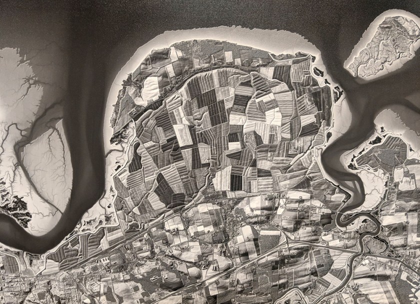
Marcel Morin kicked off Day 3 with a presentation on his work with First Nations groups across Canada. This was complemented by presentations by Thomas Herbreteau (Wolastoqey Nation, NB) and Tim Bernard and Gerald Gloade (Mainland Mi’kmaq, NS) on their place name digital atlas. The field trip on Saturday, hosted by Marcel Morin, was to the Grand Pre area, looking at the impact of the Acadian and New England Planters on the landscape. (Grand-Pre map on stretched canvas by Marcel Morin & photo of work by @kennethfield)
Over the three days, we were challenged by a number of new concepts. What do we mean by ‘place hierarchy ?’ What is implied by ‘informality’ and empty space in Nairobi, Kenya. Is the same true of the forests on South Mountain, Annapolis County ? Or Goodchild’s talk of the ‘robot car’ ?
The venue of the CCA conference in Lawrencetown allowed a group of Canadian cartographers to see the Walter Morrison Historic Map Collection, to view the art of Philip Bailey, the cartography of Marcel Morin and Jim Todd, as well as Dave Raymond’s collection of historic hydrographic charts of the Bay of Fundy.
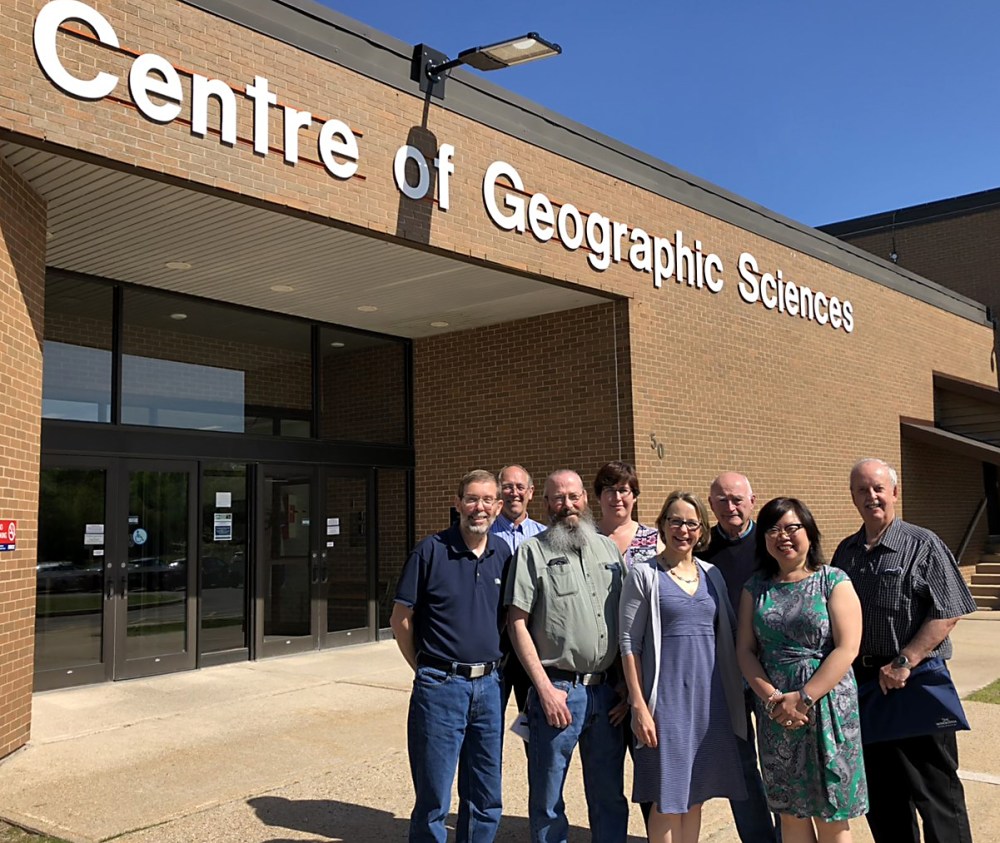
From COGS, we had in attendance, several generations of Cartography instructors: Paul Illsley, David Raymond, Piers Churchill, Martha Bostwick, Monica Lloyd, John Wightman, Ada Cheung and John Belbin. Together, they have managed to keep the mapping torch aflame.
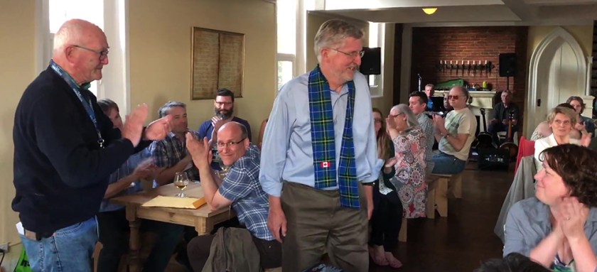
One memorable moment on the Thursday evening, at the Temple on Queen, was the induction of Michael Goodchild into the Order of CANMAP by John Wightman. Showing that Canadians, in collaboration with our neighbours and First Nations have been able to share our knowledge and experience of the landscape, using modern technology.
It is my expectation that the next time the CCA brings its annual conference to Lawrencetown, we will be talking about ‘place-based’ technology rather than ‘space-based’ technology. We shall not be talking about ’empty spaces’ but rather our immersion within the landscape.
I will close with a couple of afterthoughts. At the time of the conference, I was reading Claude Bissel’s book on Ernest Buckler. The following quotation about Buckler struck me as relevant.
” For his work (and peace of mind) he needed isolation and a particular place….. And the place for him was the house in Centrelea.”
We all have our particular place or a series of places over a lifetime. The CCA conference confirmed that Lawrencetown is a special place for many Cartographers and Geographers.
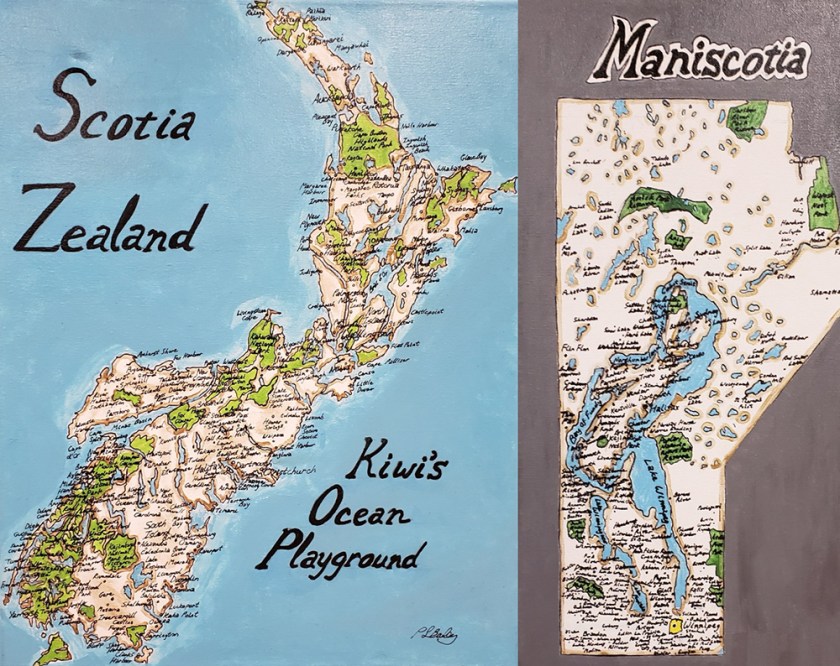
During the field trip to the Grand-Pré, I learned that Ian Spooner and Gerald Gloade had collaborated on bringing together western landscape science and Mi’kmac stories. This led me to check my copy of the book by Trudy Sable and Bernie Francis The Language of this Land, Mi’kma’ki. Phillip Bailey in his art had developed ‘merged maps’. This set me thinking about combining different versions of the same landscape e.g. Micmac, Acadien, Black Loyalists in Nova Scotia. Or take, Nicholas Crane ‘s book The Making of the British Landscape, and imagine the richness of a similar book ‘The Making of the Canadian Landscape’. (Merged Maps below by Phillip Bailey – CartographeMe).
References
Claude Bissell. 1989. Ernest Buckler Remembered. University of Toronto Press.
Trudy Sable and Bernie Francis.2012.The Language of this Land, Mi’kma’ki. CBU Press.
Nicholas Crane. 2016. The Making of the British Landscape. From the Ice Age to the Present. Wiedenfeld and Nicolson.
Acknowledgements
Thanks to Monica Lloyd, Michael Goodchild and Marcel Morin for their specific contributions, and to sponsors: John Wightman, CANMAP and Eric Melanson, Esri Canada.
Thanks to all presenters and to Dave MacLean for photographs and conference details, go to link to presentations


 The four closures were Windsor Wear, Fundy Gypsum Company, Britex and Minas Basin Paperboard Mill. The last closure is also described in a separate book, We wanted it to last forever. It includes both photographs and interviews with former employees at the mill.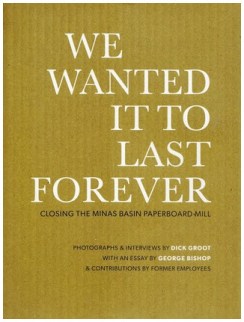
 First, we are back to the organic orchard: time to burn the prunings and brush; time to complete the paperwork for certification. Second, there are meetings related to community mapping, and the forthcoming Canadian Cartographic Association (CCA) symposium at COGS. The ‘to do’ list becomes overwhelming.
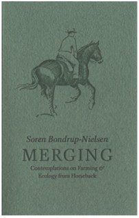 The next evening, I went to Melvern Square to hear Soren Bondrup-Nielsen. He was presenting a CARP-sponsored (Clean Annapolis River Project) talk on “Riparian areas: natural filters and critical habitat in agricultural landscapes”. Luckily, I was able to purchase a copy of Soren’s beautiful book published by
  At the second-hand bookstore, we noticed the Grand Opening of
 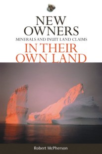 On the flight to Ottawa, I picked up a copy of the Nunatsiaq News (April 13 edition). There was an interesting opinion piece by Alex Buchan, Vice-President, NWT and Nunavut Chamber of Mines. He reviewed a book by Robert McPherson New Owners in their own land, Minerals and the Inuit Land Claim. “McPherson was a geologist hired by the Inuit Land Claim organization to identify mineral-rich lands that we would eventually select .”
 So, I checked his website
  While in Wolfville, I could not resist stopping at the second-hand bookstore. There, I found a book by Edmund Gilbert British Pioneers in Geography. This set of essays describes the Oxford School of Geography, going back to the twelfth century. A couple of quotations:

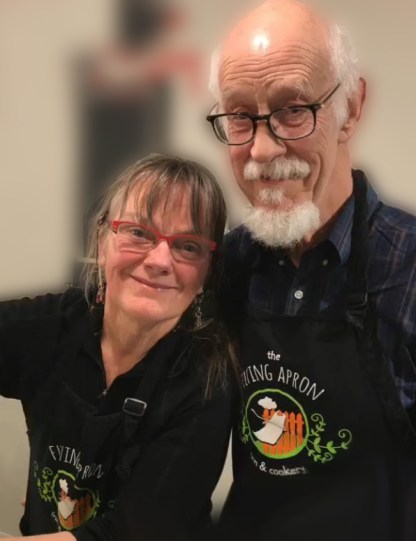 With a birthday and Valentine’s Day on February 14th., Heather and I decided to attend the Valentine’s Cookery School at the Flying Apron Inn in Summerville on Highway 215, East Hants, NS.
 There were over twenty presentations and about two hundred persons in attendance. From my perspective, presentations could be divided into the following categories: technology, measurement science, applications, and implications for society and education.